
International Workshop
LiDAR technologies for forest structure assessment
3-4 November 2016 – Universitat Politècnica de València
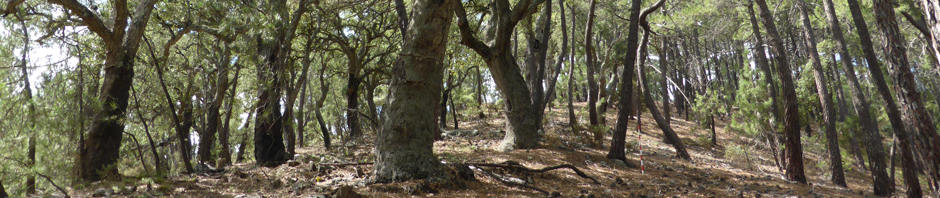
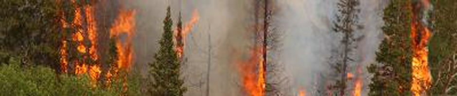
Forest structure characterization is relevant for forest management at different scales. The development of LiDAR (Light Detection and Ranging) technology, that allows for data acquisition from satellites, airplanes, drones and terrestrial laser scanner, is operative for forest inventories and forest ecology applications. Recent developments have also been made for fuel variables prediction and mapping, useful for wildfire risk and fire behaviour modelling.
As part of the activities of the thematic group devoted to Cartography and LiDAR in the Spanish Society of Remote Sensing, in this workshop methods for the acquisition and processing of LiDAR data and other remote sensing techniques for the characterization and mapping of forest structure variables will be presented and described throughout several invited conferences and a discussion panel organized in three sessions: (1) Forest monitoring and mapping using remote sensing; (2) LiDAR technologies for forest structure assessment; and (3) LiDAR and wildfires: requirements and potential.
La caracterización de la estructura forestal es relevante para el manejo y gestión de los bosques. La tecnología LiDAR (Light Detection and Ranging) desarrollada en los últimos años, que permite obtener datos desde satélites, aviones, drones y láser escáner terrestre, es ya operativa en inventarios forestales y otras aplicaciones de ecología forestal. Además, su avance está permitiendo la obtención de cartografía de variables de combustibilidad, de gran interés para la prevención y lucha contra incendios forestales.
En el marco de las actividades del grupo de Cartografía y LiDAR de la Asociación Española de Teledetección (AET), en este workshop se presentan y describen metodologías de adquisición y procesado de datos LiDAR y otras técnicas de teledetección para la caracterización y cartografiado de variables de estructura forestal, a través de varias conferencias invitadas y un coloquio organizados en tres secciones: (1) Seguimiento y cartografía forestal mediante teledetección; (2) La tecnología LiDAR para la caracterización de la estructura forestal; y (3) LiDAR e incendios forestales: necesidades y potencial.
Dirigido a:
Estudiantes, técnicos e investigadores en el ámbito de la teledetección, cartografía, ciencias forestales y prevención de incendios.
Inscripción gratuita. Hasta completar aforo.