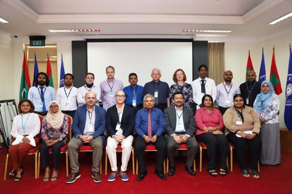
The project “University Network for Disaster Risk Reduction and Management in Indian Ocean Rim (UN4DRR)”, on remote sensing and GIS applied to natural hazard and disaster reduction, officially started with the kick-off meeting held in Male, Maldives, from 2 to 4 March.
-
Index
- International Workshop “New Remote sensing Techniques for 3D Forest Structure Mapping and Wildfire Modeling” 24th April 2024
- Issue 63 of “Spanish Journal of Remote Sensing” 2nd February 2024
- GeoTAK project concludes with an International Workshop, final conference and inauguration of geoinformation technologies laboratory at Yerevan State University 15th January 2024
- XII Jornadas de Geomorfología Litoral (GEOLIT24) – 2ª circular 9th January 2024
- Students selected for the Winter School – “GIS and Remote Sensing for Climate Change Management in Agriculture” 5th January 2024
- Call for applications for the Winter School – “GIS and Remote Sensing for Climate Change Management in Agriculture” 18th December 2023
- An international team of students performs real 3D scans of the interior of the School of Engineering in Geodesy, Cartography and Surveying 9th November 2023
- Workshop “Terrestrial laser scanning: from simulation to real scanning” 31st October 2023
- Issue 62 of “Spanish Journal of Remote Sensing” 31st July 2023
- SAET: A New Tool for the Automatic Shoreline Extraction 27th June 2023
April 2024 M T W T F S S 1 2 3 4 5 6 7 8 9 10 11 12 13 14 15 16 17 18 19 20 21 22 23 24 25 26 27 28 29 30