


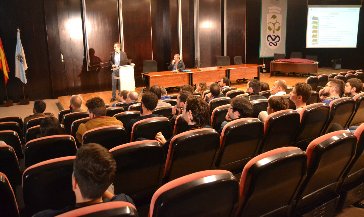
The EE Forestal hosted the Atlantic Geospatial Day, promoted by the Master in Geoinformatics of the University of Vigo. The workshop dealt with the use of satellites, drones and LiDAR technology to obtain information on the territory.
Our colleague Luis Á. Ruiz talked about the analysis of the forest structure through Lidar.
Related news