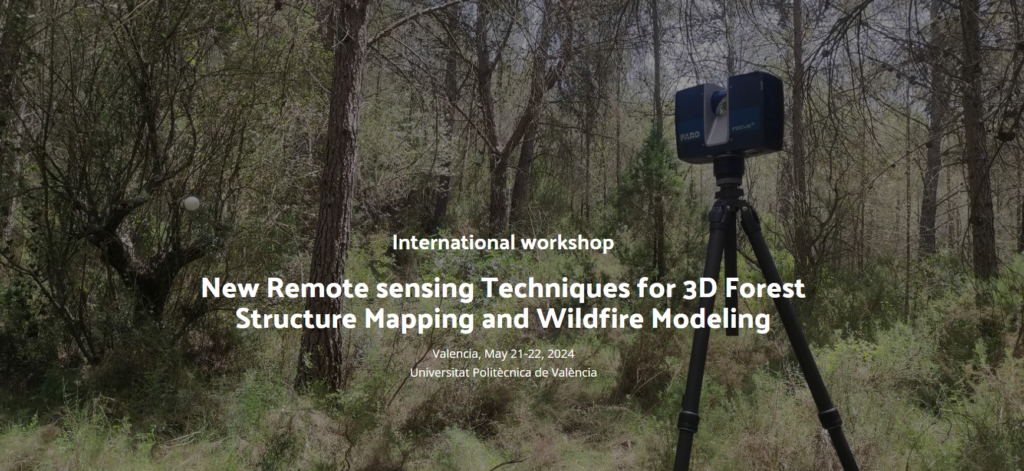
The international workshop “New Remote sensing Techniques for 3D Forest Structure Mapping and Wildfire Modeling” will be held between May 21 – 22, as part of the FireMode project. In this workshop, new advances in the operative incorporation of fuel variables, information of 3D structure and fuel moisture of the canopy at fine scale into the new physics-based fire behavior models, optimizing the integration of data from laser scanners and spectral sensors on-board unmanned aerial systems (UAS), airborne, satellite platforms and terrestrial, will be presented and discussed. This workshop is addressed to scientists, technicians and students who want to learn and exchange knowledge in new remote sensing and point cloud processing techniques forforest structure mapping and wildfire prevention and control, and networking with national and international experts working in this subject.
More information and registration can be found on this website.


