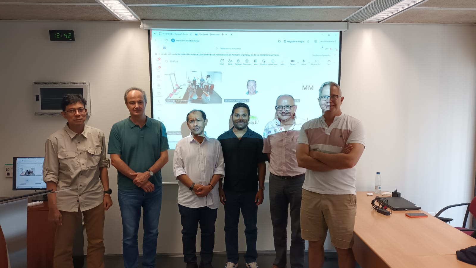
International academic visit to the Geo-Environmental Cartography and Remote Sensing Group (CGAT) of the Universitat Politècnica de València (UPV).
Today, 29 July 2026, the CGAT had the pleasure of hosting three international presentations focused on the application of geomatics and remote sensing to environmental challenges.
Prof. N. Nizamuddin and Prof. Muzailin Affan, from the Laboratory of GIS and Remote Sensing at the Universitas Syiah Kuala (Indonesia), presented their work on natural disaster management in Banda Aceh (Sumatra).
Ahmed Aslam Waheed, from the Faculty of Engineering Science & Technology at The Maldives National University, shared insights into coastal erosion management in the Maldives, highlighting the challenges faced by small island nations under increasing climate pressures.
These seminars provided an excellent opportunity to exchange knowledge, strengthen international collaboration, and explore the contribution of geospatial technologies to disaster risk reduction and coastal management.
We thank our speakers for sharing their expertise and look forward to future collaborations.