Geo-Environmental Cartography and Remote Sensing Group | UPV
Skip to content
  • Home
  • Research
  • Teaching
  • Publications
  • Software
  • People
  • Links
  • Datasets
  • Contact us

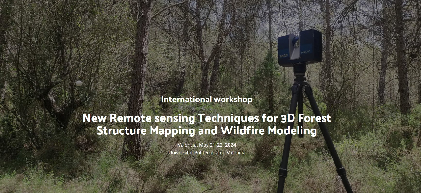
← International Workshop “New Remote sensing Techniques for 3D Forest Structure Mapping and Wildfire Modeling”
image

By Juan Pedro Carbonell | Published 24th April 2024 | Full size is 1737 × 799 pixels

Bookmark the permalink.
Geo-Environmental Cartography and Remote Sensing Group | UPV
Developed by M.Sapena | Maintained by J.P. Carbonell-Rivera