TUESDAY, MAY 21, 2024
| 15:00-15:30 | Registration |
| 15:30-16:00 |
Dr. Mattheus Jolly *
USDA Forest Service – Missoula Fire Sciences Lab (USA) Live Fuel Dynamics: Quantifying the physical and chemical drivers of seasonal variability in live fuel moisture content |
| 16:00-16:20 |
Mª Alicia Arcos
GeoEnvironmental Cartography and Remote Sensing group, Universitat Politècnica de València Empirical models based on satellite images and meteorological data for live fuel moisture content estimation |
| 16:20-16:35 |
Kenneth Pachacama
GeoEnvironmental Cartography and Remote Sensing group, Universitat Politècnica de València Automation and implementation of dynamic mapping of live fuel moisture estimation in the Valencian Community |
| 16:35-16:50 |
Carles Boils
VAERSA Integrated System for Wildfire Management in the Valencian Community (SIGIF) |
| 16:50-17:20 | Coffee Break |
| 17:20-17:50 |
Dr. Russell A. Parsons *
USDA Forest Service – Missoula Fire Sciences Lab (USA) FastFuels: a 3D fuel modeling system leveraging high resolution remote sensing to support prescribed fire and fuel treatment science |
| 17:50-18:20 |
Prof. Mark Danson
University of Salford (United Kingdom) Testing the potential of dual-wavelength terrestrial laser scanner for estimating fuel moisture content |
| 18:20-18:40 |
Jesús Torralba
GeoEnvironmental Cartography and Remote Sensing group, Universitat Politècnica de València Terrestrial laser scanner for shrub-canopy interface characterization |
WEDNESDAY, MAY 22, 2024
| 9.00-9.15 | Registration |
| 9.15-9.30 | Welcome address Prof. Mª Belén Picó Sirvent Vicerrectora de Investigación, Universitat Politècnica de València |
| 09.30-09.50 |
Prof. Luis Ángel Ruiz
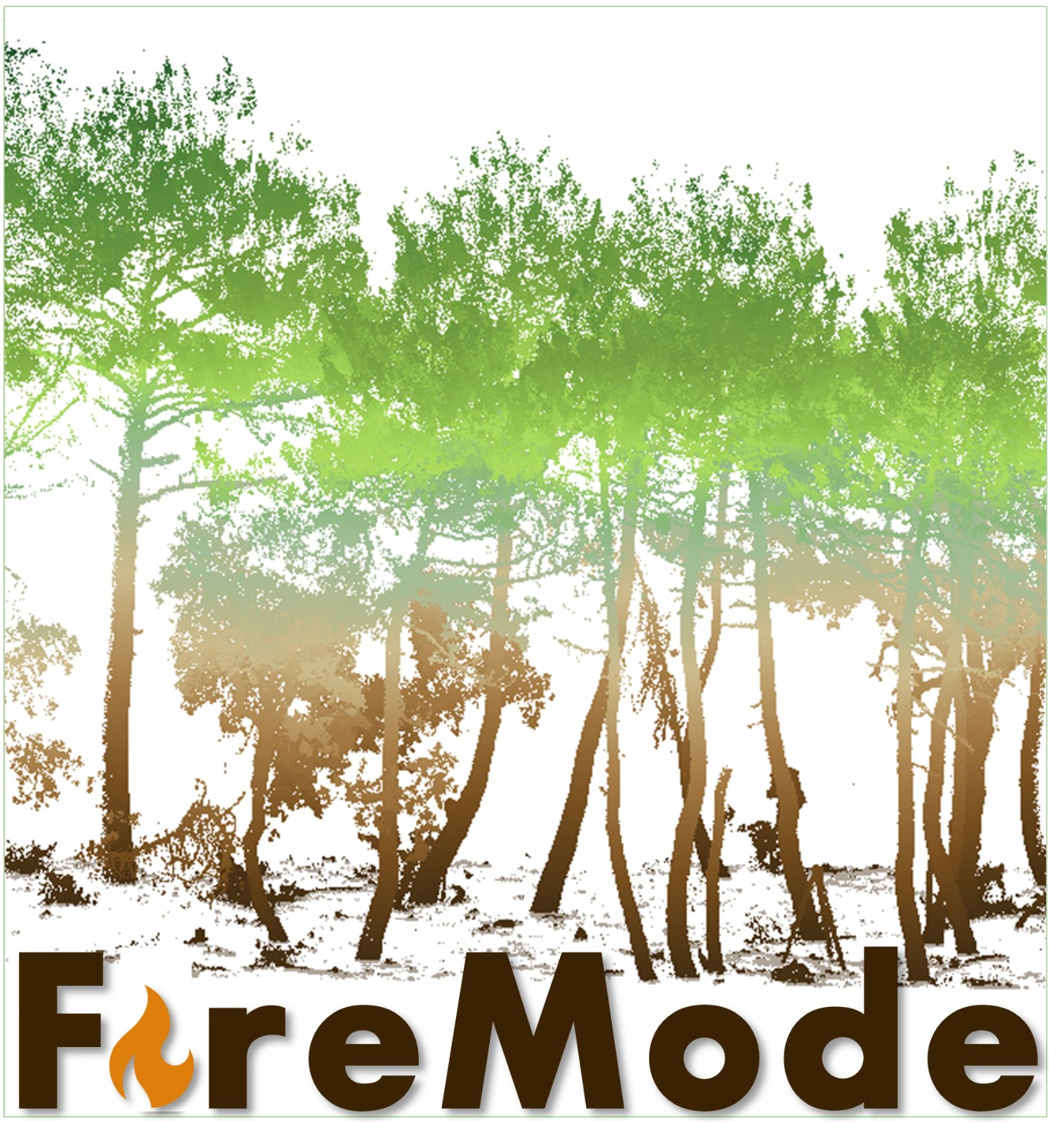
GeoEnvironmental Cartography and Remote Sensing group, Universitat Politècnica de València Project FireMode: From point clouds to fire behavior simulation |
| 09:50-10:10 |
Juan Pedro Carbonell
GeoEnvironmental Cartography and Remote Sensing group, Universitat Politècnica de València UAV photogrammetric point clouds for shrub species classification |
| 10:10-10:30 |
Dr. Carlos Cabo *
Universidad de Oviedo - Swansea University (United Kingdom) 3DFin: a free and user-friendly software for 3D forest inventory in terrestrial point clouds |
| 10.30-10.50 |
Marina Simó
GeoEnvironmental Cartography and Remote Sensing group, Universitat Politècnica de València Using fire behavior models to assess the influence of forest structure parameters in fire dynamics |
| 10:50-11:20 | Coffee Break |
| 11.20-11.50 |
Dr. Cristina Santín
Instituto Mixto de Investigación en Biodiversidad (CSIC) New methods for fuel classification and carbon estimation from point clouds |
| 11.50-12.20 |
Dr. Ronan Paugam
Centre for Technological Risk Studies, Universitat Politècnica de Catalunya Airborne Observation from Experimental Burn: Fire Behavior Computation, Plume Simulation, and IR image simulation |
| 12.20-12.50 |
Dr. Christopher Moran
Fire Center, University of Montana (USA) Investigating fireline geometry processes and fuel pattern impacts with prescribed fire experiments and CFD modeling |
| 12.50-13.00 | Closure |
(*) These presentations will be online
THURSDAY, MAY 23, 2024
| 9:00-18:00 | Field visit to the permanent plots in Sierra de Espadán with invited speakers and registered technicians and researchers, with demonstration of the acquisition of data with terrestrial laser scanner, UAV with RGB and multispectral camera |


created with
Website Builder Software .