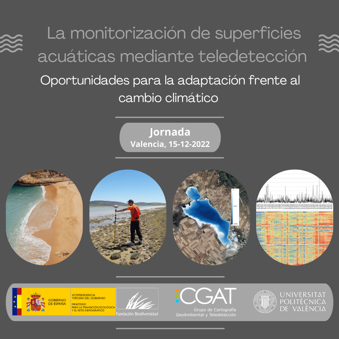
Ayer se celebró la Jornada titulada “La monitorización de superficies acuáticas mediante teledetección: oportunidades para la adaptación al cambio climático” organizada por el grupo CGAT en la ETSI Geodésica, Cartográfica y Topográfica de la Universitat Politècnica de València. Durante el evento se presentaron las posibilidades que la explotación de las series de imágenes de satélite para la monitorización de los espacios costeros, tanto las playas marinas como las costas lagunares. La jornada, que reunió a decenas de asistentes tanto presencialmente como de manera remota, contó con las presentaciones de Roberto Díaz (Dirección General de Costas y el Mar), Francisco Javier Gracia (Universidad de Cádiz), Carmen Castañeda (EEAD-CSIC Zaragoza), Carlos Cabezas (Université de Bordeaux), Jesús Palomar y Josep E. Pardo (CGAT-UPV), a los que se unió Luis Ángel Ruiz (Presidente de la Asociación Española de Teledetección) en la mesa redonda que finalizó el encuentro. Las presentaciones y la sesión de mesa redonda se encuentran disponibles para su consulta en los siguientes enlaces:
-
Index
- GeoTAK project concludes with an International Workshop, final conference and inauguration of geoinformation technologies laboratory at Yerevan State University 15th January 2024
- XII Jornadas de Geomorfología Litoral (GEOLIT24) – 2ª circular 9th January 2024
- Students selected for the Winter School – “GIS and Remote Sensing for Climate Change Management in Agriculture” 5th January 2024
- Call for applications for the Winter School – “GIS and Remote Sensing for Climate Change Management in Agriculture” 18th December 2023
- An international team of students performs real 3D scans of the interior of the School of Engineering in Geodesy, Cartography and Surveying 9th November 2023
- Workshop “Terrestrial laser scanning: from simulation to real scanning” 31st October 2023
- Issue 62 of “Spanish Journal of Remote Sensing” 31st July 2023
- SAET: A New Tool for the Automatic Shoreline Extraction 27th June 2023
- Nuevos doctores y premio extraordinario de tesis 27th June 2023
- Students selected for the Summer School – “Climate Change in Cities: Remote Sensing and GIS tools” 23rd May 2023
April 2024 M T W T F S S 1 2 3 4 5 6 7 8 9 10 11 12 13 14 15 16 17 18 19 20 21 22 23 24 25 26 27 28 29 30